
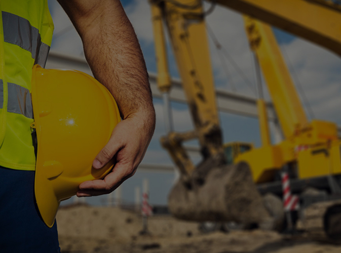
Excavation contractors perform various tasks; they do much more than just digging in the dirt. The process of excavation includes trenching, grading and many different soil-related tasks. The process of excavation requires a comprehensive survey of the site which is the responsibility of the survey crew. Following are the levels that are involved in the process of excavation.
Bullseye utility locating offers various SUE levels of locating.
Subsurface Utility Engineering (SUE) refers to a branch of engineering that involves managing certain risks associated with utility mapping at appropriate quality levels, utility coordination, utility relocation design and coordination, utility condition assessment, communication of utility data to concerned parties, utility relocation cost estimates, implementation of utility accommodation policies, and utility design.
Quality Level D (Records Research and Data Collection)
This is the level that marks the beginning of the process. The process involves the record data gathering and compilation. The data is usually acquired from the digital records, paper records, internet search, site inspection or just talking to people who are familiar with the site. The accuracy of excavation is dependent on the accuracy of the data gathered from the multiple sources. If the available data is limited or the source of information is doubtful then eventually the completeness and accuracy of the investigation will be compromised. Once the site data is collected, it is compiled into a drawing.
Quality Level C (Above Ground Survey)
This step involves the surveying of visible utility features. If they have already been surveyed, then we check the surveyed locations for their accuracy. The data acquired during this process is compiled with the Quality Level D data. Quality Level C data often contradicts with the Quality Level D and raise questions and cause confusions regarding some of the underground utilities.
Quality Level B (Utility Designation)
In this step, your underground utilities get designated, and we do this with the help of markings provided through 811 or by contacting an individual utility company. Once the utility designation is done, the data obtained from the quality level B then compiled into previously gathered data from Quality Level C and D. All the designated utilities then surveyed further and added to the drawings.
Quality Level A (Test Hole/ Pot Holing)
This is the step where we locate the actual utility by potholing. Once the utility is potholed, we use survey measurement to locate it horizontally and vertically. The location is usually on the top of the pipe, the information then added to the drawing.
The entire procedure explained above can be done in phases or simultaneously, depends on the nature of utilities. When all the data has been obtained from different quality levels, we compile it into the drawing.